Hiking route animation
Create a hiking route animation from a GPX track
Make a clear map-based film of a hike, approach or summit day from the GPS route you recorded or planned.
A route-first hiking story
- GPS trail and elevation context.
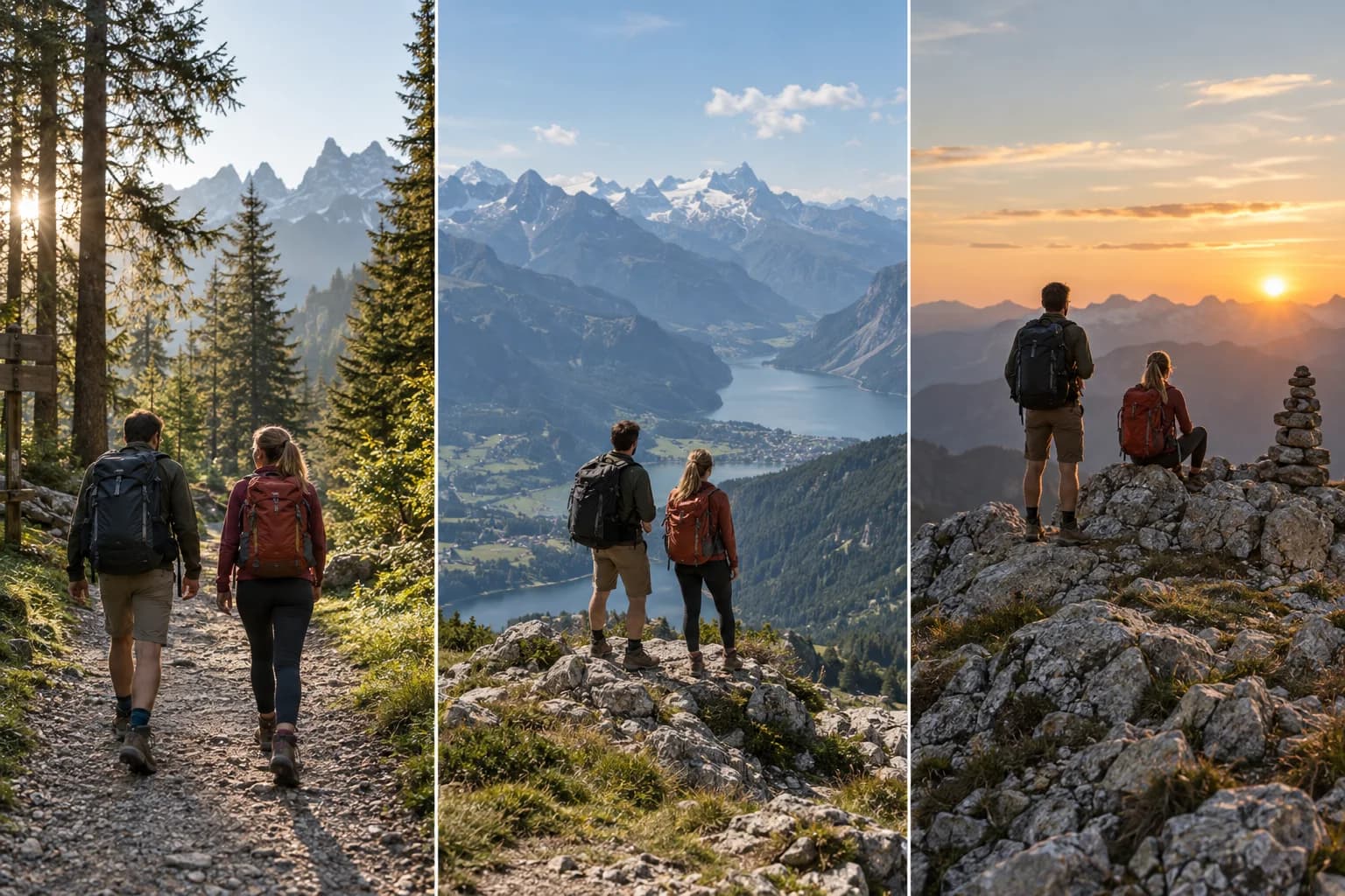
- Trailhead, viewpoint and summit photos.
- Editorial camera and scene choices.
- A new MP4 for a hiking recap.
A finished scene sequence from one route
For activity recaps and route previews, Auto Story uses route shape, climbs, descents, and supported activity moments to produce an ordered sequence you can review scene by scene and edit in the same Studio.
Connect hiking photos to the trail
Place your own trailhead, viewpoint and summit photos where they belong on the route.
Show terrain without inventing conditions
Frame the trail and elevation with editorial scene choices; the GPS file does not recreate conditions automatically.
Export a trail story as MP4
Compose a landscape or vertical route video and export a new MP4.
Open Flyover StudioMake a hiking route video
- 1Upload a hiking GPS file.
- 2Place route moments and set terrain framing.
- 3Export the finished MP4.
FAQ
Can I make a hiking video from GPX?
Yes, when the GPX, FIT or TCX file contains a usable GPS route.
Does Flyover recreate mountain conditions?
No. Scene appearance is chosen in the editor.