Create a trail running route animation
Turn a trail GPS route into a route-first preview or recap that makes climbs, turns and aid-point context easier to follow.
Place trail moments along the course
Use your own photos at viewpoints, technical sections and finish areas on the route timeline.
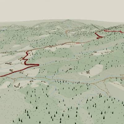
Explain the shape of a trail course
Use terrain, elevation and deliberate camera framing to clarify the route without claiming automatic trail analysis.
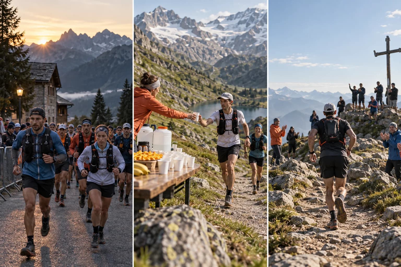
Place trail moments along the course
Use your own photos at viewpoints, technical sections and finish areas on the route timeline.
A finished scene sequence from one route
For activity recaps and route previews, Auto Story uses route shape, climbs, descents, and supported activity moments to produce an ordered sequence you can review scene by scene and edit in the same Studio.
A trail-specific route presentation
- Trail route and elevation from a GPX, FIT or TCX file.
- Selected aid, technical and viewpoint labels along the course.
- Camera framing suited to climbs, turns and descents.
- Landscape or vertical MP4 export.
Make a trail route video
- 1Upload a trail route with usable GPS coordinates.
- 2Add selected route points and tune terrain, camera and panels.
- 3Review the course flow and export the MP4.
FAQ
Can I show aid points on a trail route animation?
Yes. Add selected route moments and labels where they help explain the course.
Does Flyover detect trail hazards automatically?
No. Technical sections and hazards are editorial points supplied by the creator or organizer.