Create an animated route map from your GPS track
An animated route map starts with a GPS track. Flyover takes a GPX, FIT or TCX file, draws the route over 3D terrain and exports the route animation as an MP4. You can usually export the track from the app or device you recorded the trip with: look for an export or download GPX option. Flyover does not draw routes by hand or connect cities for you.
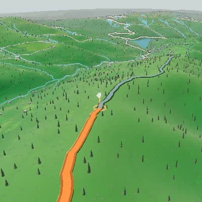
From a recorded track to a route animation
The GPS coordinates define the route, and Flyover shows it over 3D terrain with progress and an elevation panel. The animation follows what was recorded, so the quality of the route depends on the track file.
A finished scene sequence from one route
For activity recaps and route previews, Auto Story uses route shape, climbs, descents, and supported activity moments to produce an ordered sequence you can review scene by scene and edit in the same Studio.
Export the GPS track of your trip from the app or device you recorded it with (GPX is the most widely supported format).
The GPS coordinates define the route, and Flyover shows it over 3D terrain with progress and an elevation panel. The animation follows what was recorded, so the quality of the route depends on the track file.
Choose 16:9 for a landscape video, or 9:16, 1:1 or 4:5 for social posts, and export an MP4. The free export is 720p with stylized terrain and a TrainCraft watermark; 1080p, 1440p, satellite imagery or an export without the watermark need a paid export.
Add trip photos along the route
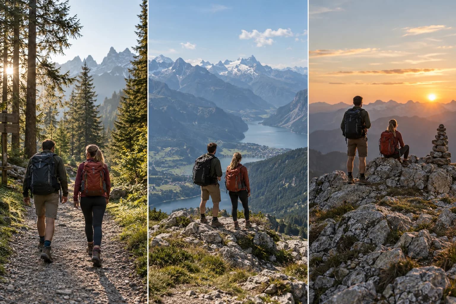
Place photos from your trip at the matching points of the route: a viewpoint, a village or a trailhead. Each photo appears at its place on the map during the animation.
Export the animated route map as MP4
Choose 16:9 for a landscape video, or 9:16, 1:1 or 4:5 for social posts, and export an MP4. The free export is 720p with stylized terrain and a TrainCraft watermark; 1080p, 1440p, satellite imagery or an export without the watermark need a paid export.
Open Flyover StudioWhat a travel track becomes
- Start from a GPX, FIT or TCX file with a usable GPS track.
- See the route animate over 3D terrain with progress and elevation panels.
- Add trip photos at their places on the route.
- Choose camera, scene and aspect ratio, including vertical 9:16.
- Export the finished animation as an MP4.
Make an animated route map
- 1Export the GPS track of your trip from the app or device you recorded it with (GPX is the most widely supported format).
- 2Upload the file to Flyover, add photos and choose the camera and terrain.
- 3Pick the aspect ratio and export the MP4.
FAQ
What do I need to make an animated route map?
A GPS track file in GPX, FIT or TCX format. Flyover animates a track that was recorded or exported; it does not draw a route by hand or plan a route between cities.
Where do I get a GPS track of my trip?
Record it with a tracking app, GPS watch or bike computer, then use its export or download GPX option. Many tracking apps and devices offer GPX export; the exact menu depends on the app.
Is it free?
You can export for free within limits. The free export is 720p with stylized terrain and a TrainCraft watermark; 1080p, 1440p, satellite imagery or an export without the watermark need a paid export.
Is the route shown on a flat map?
No. The route is drawn over 3D terrain, with camera modes such as follow, drone and orbit.
Can I add photos and make a vertical video?
Yes. Add photos at route stops and export in 9:16 for Reels and similar posts.